
VIP member
IMU-GI5651 MEMS Inertial/Satellite Integrated Navigation
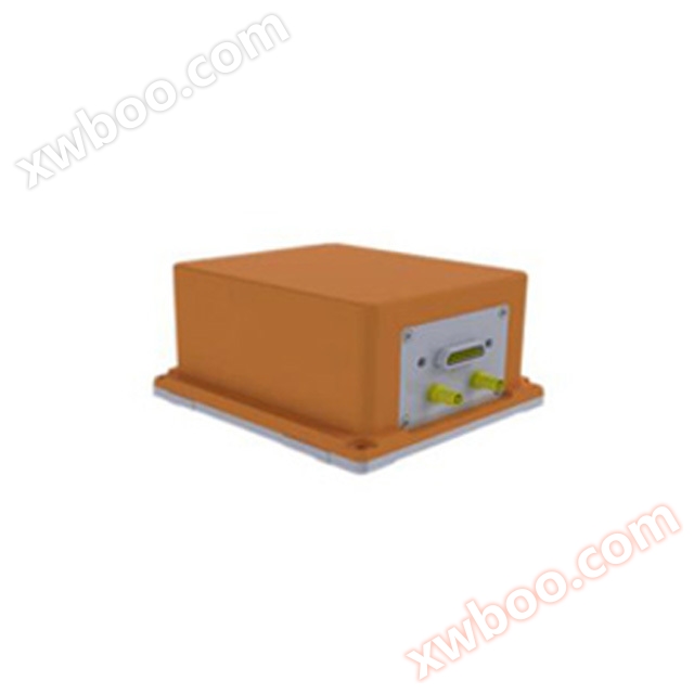
MEMS gyroscope, accelerometer orientation accuracy 0.1 velocity accuracy 0.02m/s power supply voltage DC 24V output RS-232, RS422 optional wide temper
Product details
The product supports multiple external sensors such as GNSS/odometer/DVL/barometric altimeter, with scalability. By combining multi-sensor data fusion technology with inertial measurement, the system's regional adaptability and robustness can be greatly improved; The product also has AHRS navigation reference function, which can achieve infinite duration attitude and heading maintenance without any external assistance, especially suitable for navigation and data measurement of various unmanned aerial vehicles such as drones and underwater vehicles.
To meet the application needs of mobile street view surveying, ocean surveying, and other fields, there are original data storage and surveying level navigation event post-processing software available for users to choose according to their needs.
Product Application
● Electronic traffic measurement ● Precision agriculture ● Urban street view collection ● 2D map collection ● Backpack style street view collection
● Drone positioning and navigation
Online inquiry
-
Contacts
-
Company
-
Telephone
-
Email
-
WeChat
-
Verification Code
-
Message Content
-